The best hiking trails in Italy
5 minutes
Index
The Gran Paradiso Grand Tour
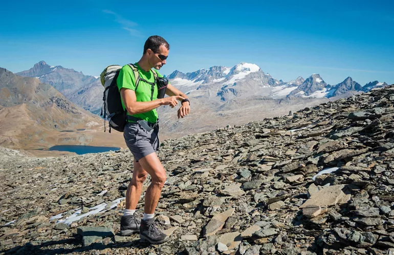
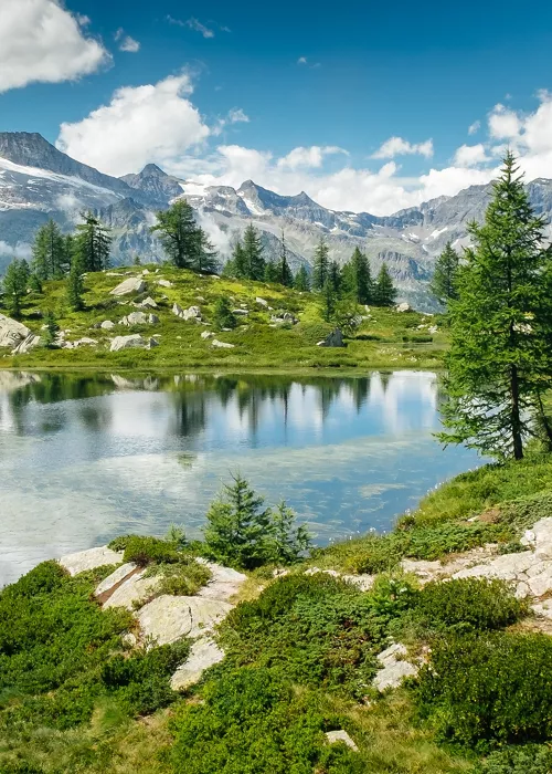
It is a highly spectacular ring trekking route that winds in front of the Gran Paradiso, between the Aosta Valley and Piedmont, in view of glaciers and alpine lakes, in contact with ibexes and chamois. The difference in altitude is considerable - equal to the height of the Gran Paradiso peak (4,061 m) - and a good physical training is required. For further information on the route, please consult the Gran Paradiso National Park website.
- Crossed regions: Aosta Valley, Piedmont
- Difficulty: demanding
- Length: approx. 56 kilometers
- Travel time: 4-5 days
The High Routes of the Dolomites
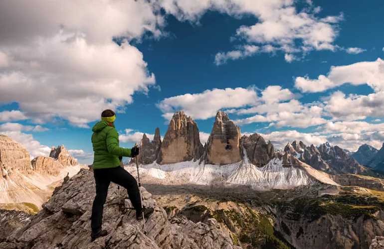
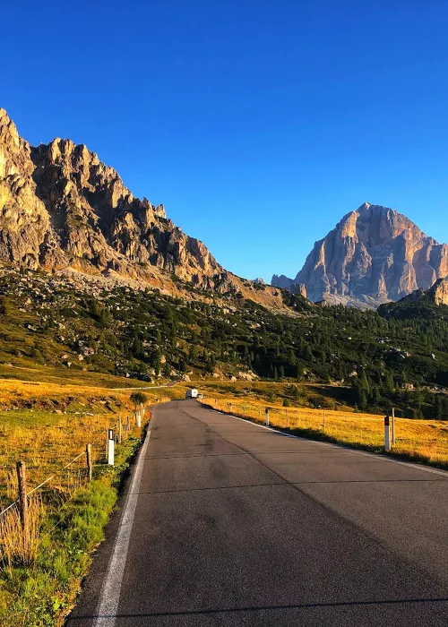
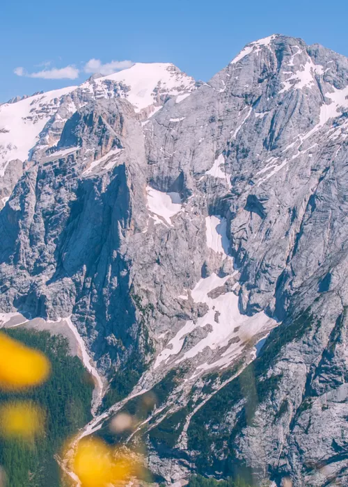
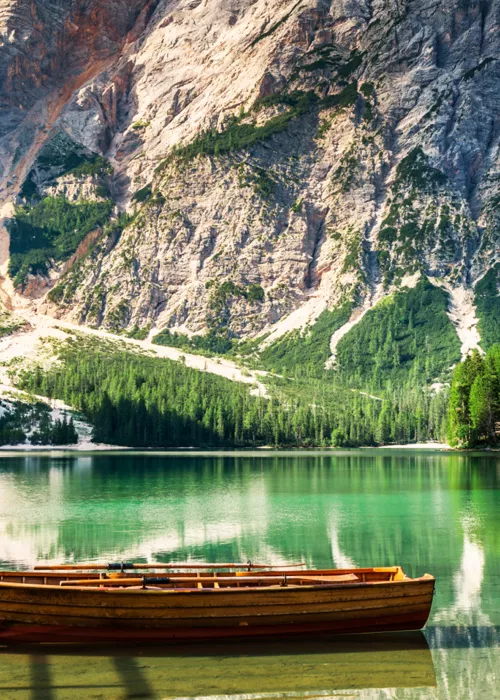
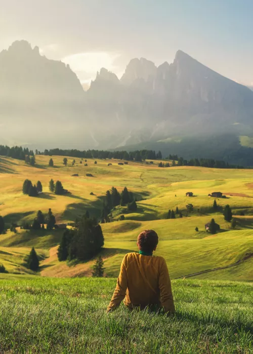
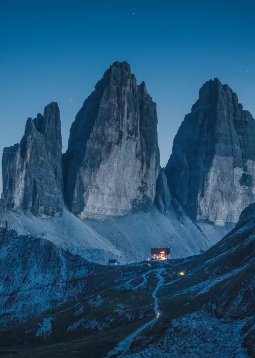
Eight different itineraries higher up the mountains, from a mountain hut to another, up to altitudes of 3,000 meters, where you can walk in the extraordinary scenery of the Dolomites, UNESCO World Heritage Site: the Dolomites High Routes touch some of the most beautiful places, such as the Marmolada, the Pale di San Martino, the Three Peaks of Lavaredo, Lagazuoi and Lake Braies.
- Crossed regions: Trentino-Alto Adige, Veneto
- Difficulty: medium to difficult
- Length: variable, from a minimum of 36 km (Alta Via No 7) to a maximum of 180 km (Alta Via No 2 and No 6)
- Travel time: several days, from the 5 stages of No 7 to the 13 stages of No 2
The Greenway of Lake Como
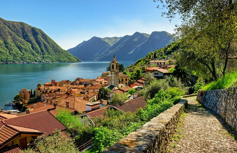
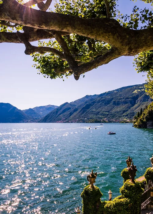
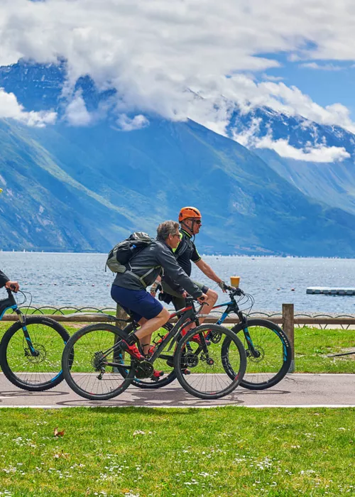
It is a pleasant panoramic walk along a splendid stretch of the western shore of Lake Como, from Colonno to Griante, tracing stretches of the ancient Roman Via Regina. Seven legs along the route - suitable for everyone and in every season - among small fishing villages, historic villas and Romanesque churches.
- Crossed regions: Lombardy
- Difficulty: easy and suitable for everyone
- Length: approx. 10 kilometers
- Travel time: about 3 and a half hours
From Camogli to Portofino, in the Regional Park of Portofino
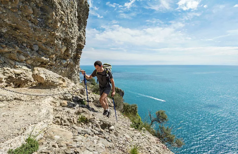
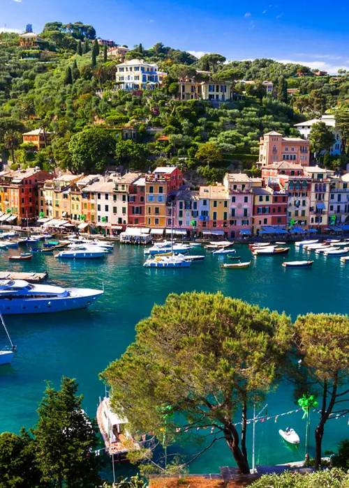
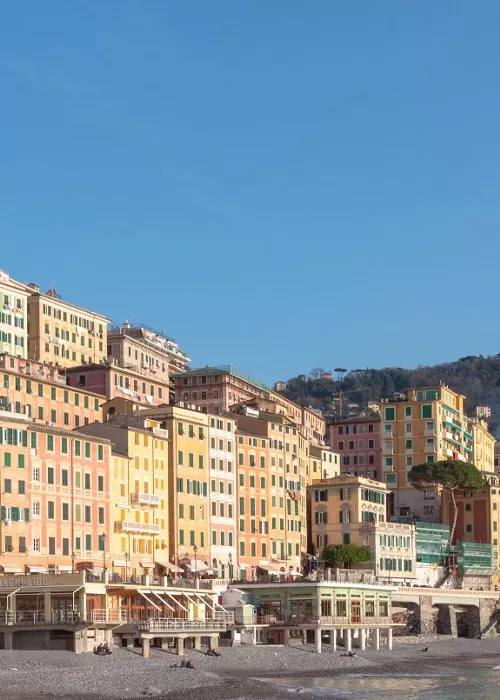
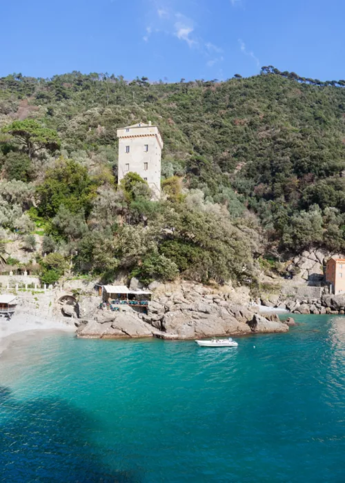
It crosses the entire promontory of Portofino, inside the Regional Natural Park of Portofino, in the scent of the Mediterranean scrub: panoramic and not very demanding, this wonderful hiking trail starts from the seaside village of Camogli and arrives in Portofino, coveted destination of the international jet set, with a halfway stop in San Fruttuoso, where the famous Abbey of the same name is located.
- Crossed regions: Liguria
- Difficulty: easy to medium
- Length: 13 kilometers
- Travel time: approx. 4-5 hours
The Path of the Gods on the Amalfi Coast
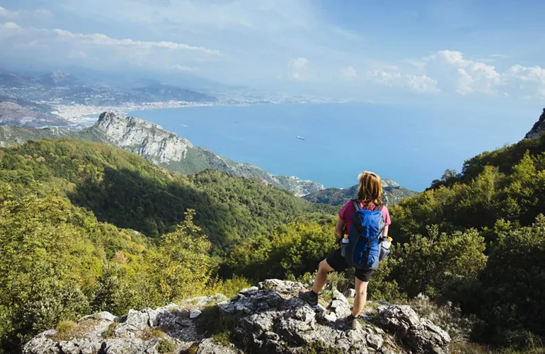
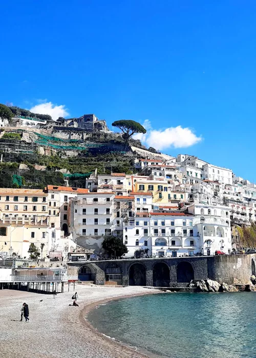
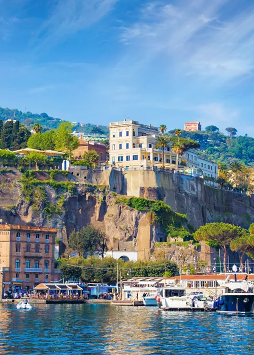
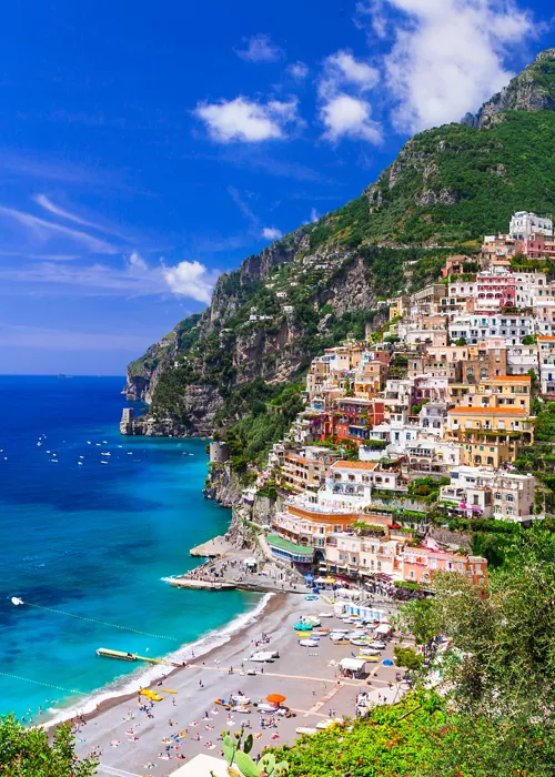
Amidst rocky spires, oaks and terraces, straddling the Amalfi and Sorrento coasts, it owes its name to the spectacular views of the sea (stretching as far as the Faraglioni of Capri) and the legends surrounding it (Ulysses would have been saved from the sirens right here). The least demanding trail is from Agerola to Nocelle, a hamlet of Positano. Not recommended for those who suffer from vertigo, it is recommended in spring or autumn, when it is less hot.
- Crossed regions: Campania
- Difficulty: easy to medium
- Length: 8 kilometers
- Travel time: approx. 4 and a half hours
In the Etna Park along the Germoplasma Trail
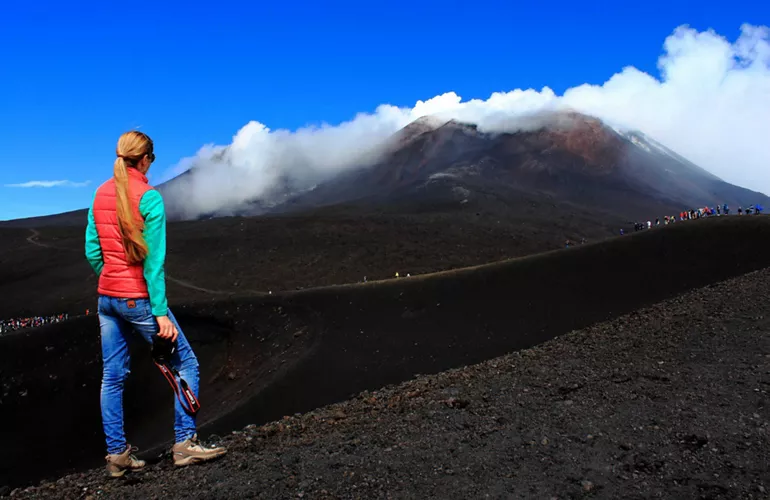
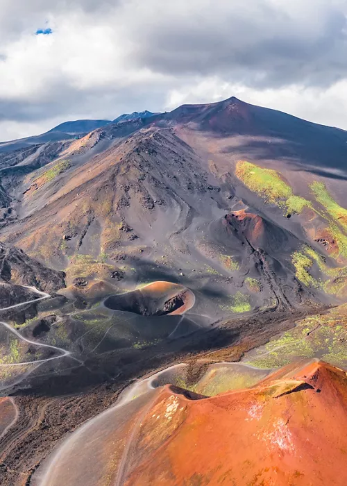
Easily accessible to everyone - even to the disabled - and with gradients of less than 7%, this trail is included in the Etna Park, where a dense network of paths branches out, among vineyards, brooms, and medicinal plants. The informational installations are also suitable for the visually impaired and the blind, making it a true five senses path in contact with nature.
- Crossed regions: Sicily
- Difficulty: easy, also accessible to disabled people
- Length: 1.153 kilometers
- Travel time: approx. 1 hour
The Via degli Dei, from Bologna to Florence
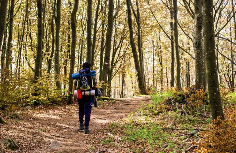
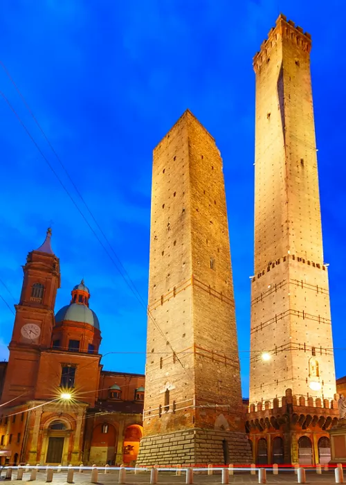
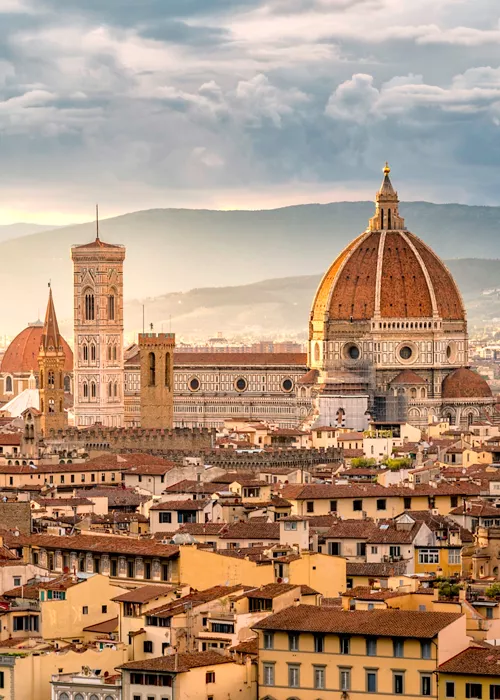
A fascinating itinerary, already travelled by the Etruscans, a military road in Roman times: the evocative Via degli Dei is a path that covers 130 kilometers, generally divided into five legs, from Bologna to Florence through the woods of the Tuscan-Emilian Apennines. It can also be covered by bike and is suitable for people with average training (six stages are recommended for those who are at their first experience).
- Crossed regions: Emilia-Romagna, Tuscany
- Difficulty: easy to medium
- Length: 130 kilometers
- Travel time: from 4 to 6 days
The Alpe Adria Trail, between Italy, Austria and Slovenia
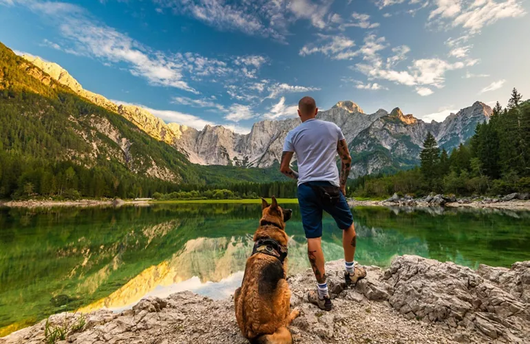
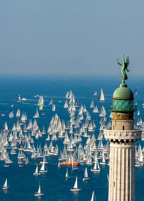
It is a transnational trail that unites the mountains and the sea, 750 km in 43 legs between Austria, Slovenia and Italy: the Alpe Adria Trail begins from the perennial Grossglockner glaciers in Carinthia and ends in Muggia, 10 km south of Trieste. The route can be tackled in both directions and is technically not very difficult (the differences in height are minimal, each stage is about 20 km long).
- Crossed regions: Friuli-Venezia Giulia, Carinthia (Austria) and Slovenia
- Difficulty: easy to medium
- Length: 750 kilometers in total divided into 43 legs of approx. 20 kilometers each
- Travel time: approx. 43 days to cover the entire route
From Assisi to Gubbio, on the Way of Francis
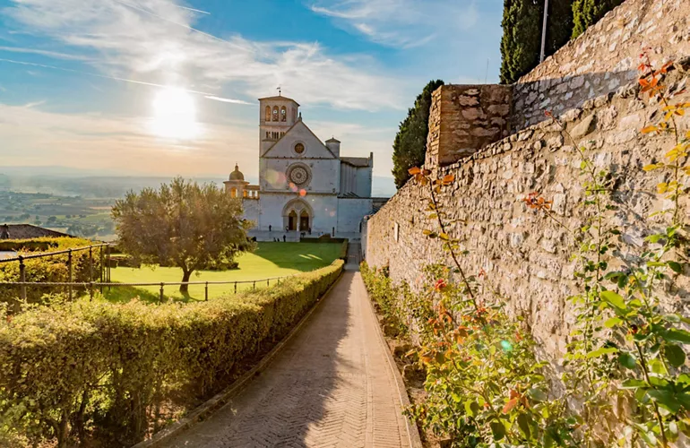
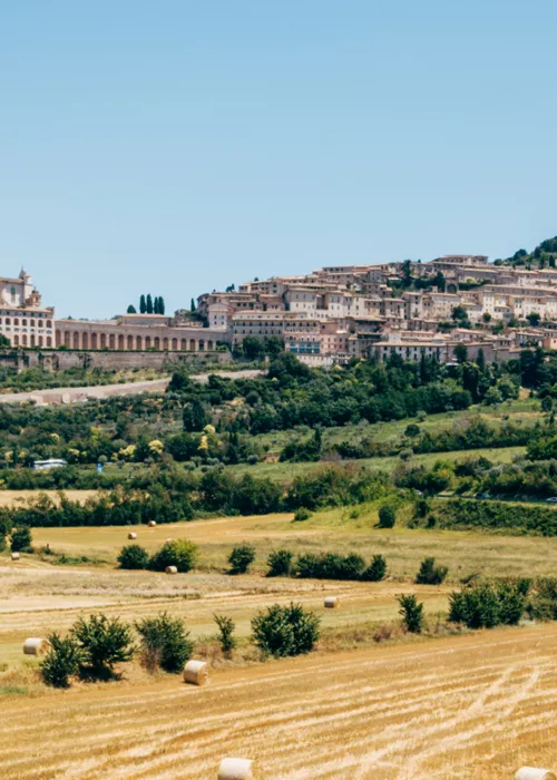
It is part of a longer path, the Via di Francesco, a hiking trail that touches all the most significant places in the life of St. Francis: the stretch from Assisi to Gubbio covers 50 km between hills, streams, castles and abbeys and it is challenging because of the length and series of ups and downs (halfway stages are recommended).
- Crossed regions: Umbria
- Difficulty: medium to challenging
- Length: approx. 50 kilometers
- Travel time: 2-3 days
Along the Appian Way, from Rome to the Roman Castles
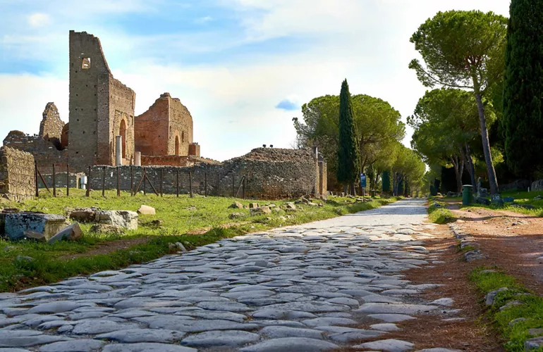
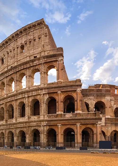
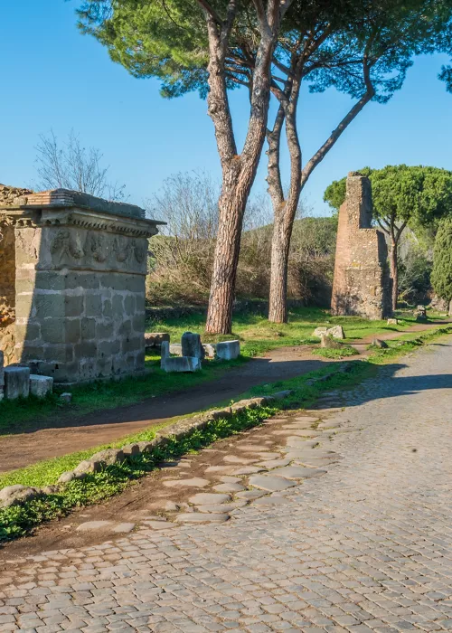
From downtown Rome, you can leave for a walk of about 20 km among history, nature and good food in the Appian Way Regional Park to the Castelli Romani. The ideal starting point is the ancient Porta Capena, from which to proceed in the direction of Cecilia Metella (5 km) and then towards Casal Rotondo (5 km) and Frattocchie (8 km). The trail is also suitable for families.
- Crossed regions: Lazio
- Difficulty: easy, also suitable for families
- Length: approx. 20 kilometers
- Travel time: one day
Trekking along the Wild Blue
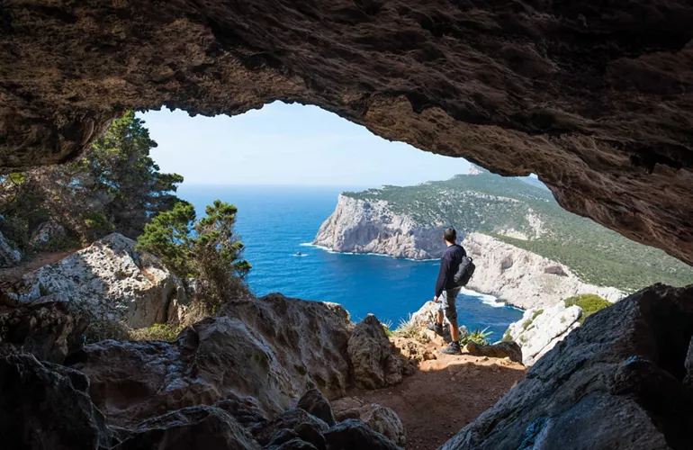
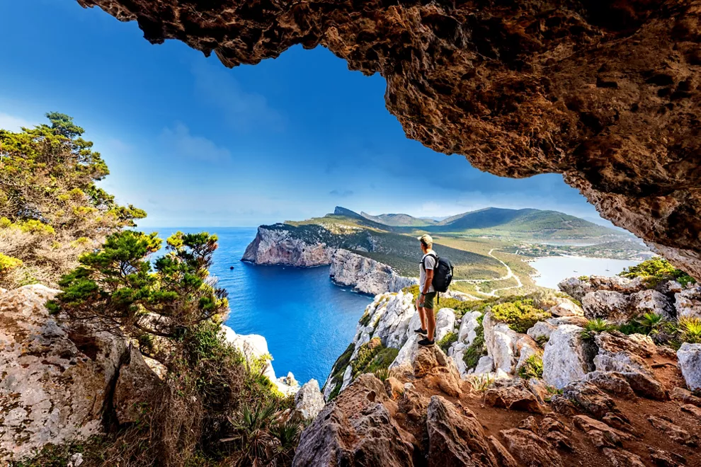
From Santa Maria Navarrese to Cala Gonone, in the Gulf of Orosei, considered one of the most challenging trekking trails in Europe, the Selvaggio Blu (“Wild Blue”) includes sections of via ferrata and climbing, and along its 50 km you can’t find any rest stop or water. The reward, however, is an extraordinarily intact nature, among shepherds' paths and cliffs on a cobalt blue sea.
- Crossed regions: Sardinia
- Difficulty: hard
- Length: 50 kilometers
- Travel time: approx. seven days
From Abruzzo to Puglia along the Tratturo Magno
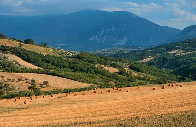
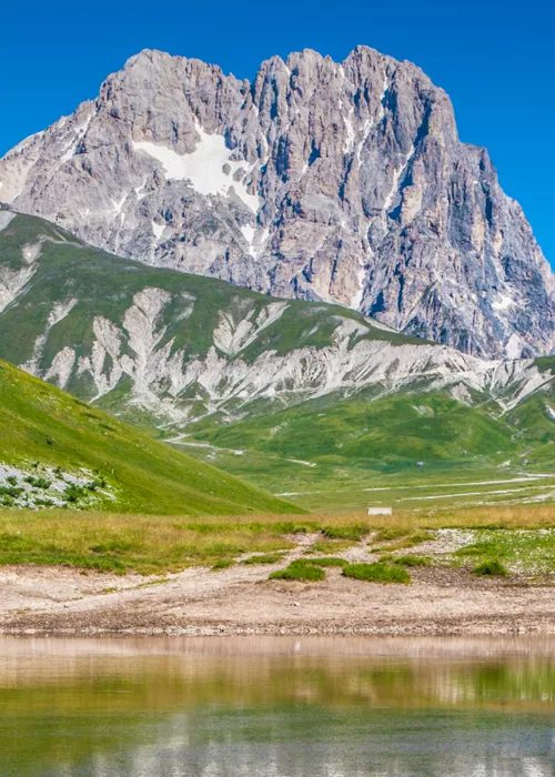
It’s 300,000 passes, from the rugged mountains of the Gran Sasso to the fertile pastures of the Tavoliere delle Puglie: once crossed by shepherds with their flocks, the Tratturo Magno is the longest Italian tratturo, a true historical itinerary that goes from Abruzzo to Puglia. It is generally divided into 10 legs of about 25 km each, which can also be covered by bike; because of the various differences in height, it is suitable for the most trained.
- Crossed regions: Abruzzo, Molise, Puglia
- Difficulty: medium to difficult
- Length: 244 kilometers
- Travel time: approx. 10 days

