

Papasidero - Morano Calabro
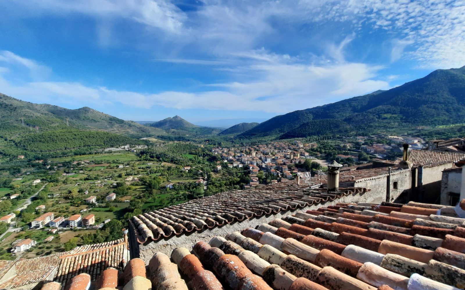
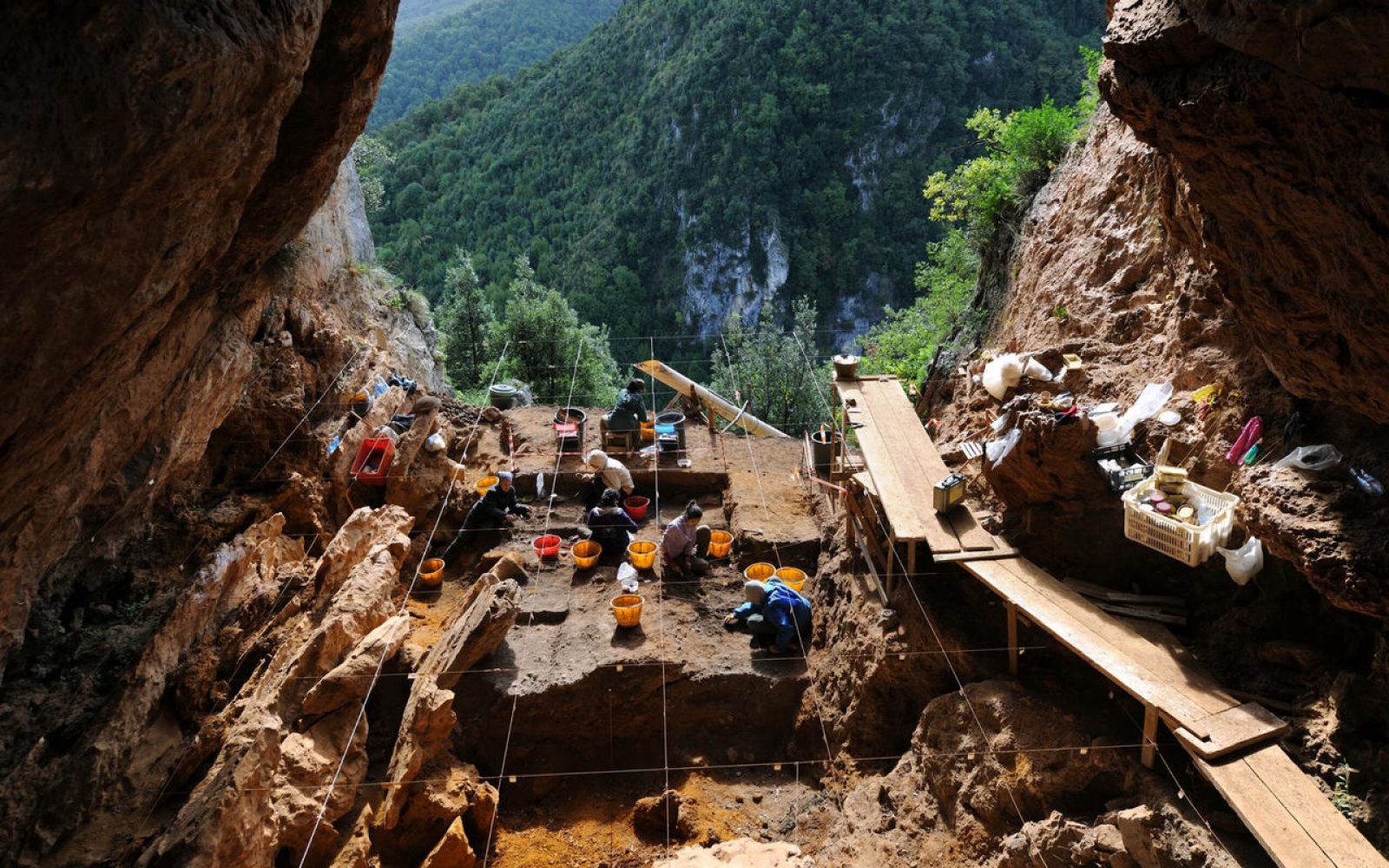
Our journey begins in Papasidero, in the province of Cosenza, located at 208 metres above sea level on a rocky outcrop overlooking the Lao River valley. The town's roots go back to ancient times; in fact, one of the most important sites in Italy belonging to the Palaeolithic period can be found here: the Grotta del Romito. This is an important piece of evidence of the human presence of Cro-Magnon (ancient form of Homo sapiens) in Calabria: discovered in 1961, the cave housed, among other human remains, those of a young hunter and the burials of three couples, as well as lithic and bone artefacts (preserved in the National Museum of Reggio Calabria and the Florentine Museum of Prehistory). There is also an impressive engraving of a bull, an example of rock art, carved on a boulder about 2.30 metres long. Today, the area is an Archaeological Park that also has a small educational museum. At the end of the visit, we set off again towards Morano Calabro (CS) taking the SP3 and then the A2/E45. About 40 km further on, on the border between Morano Calabro and San Basile, is the archaeological site of Sassone, located on a hill with a spectacular view of the village.
Morano Calabro - Circhiara of Calabria
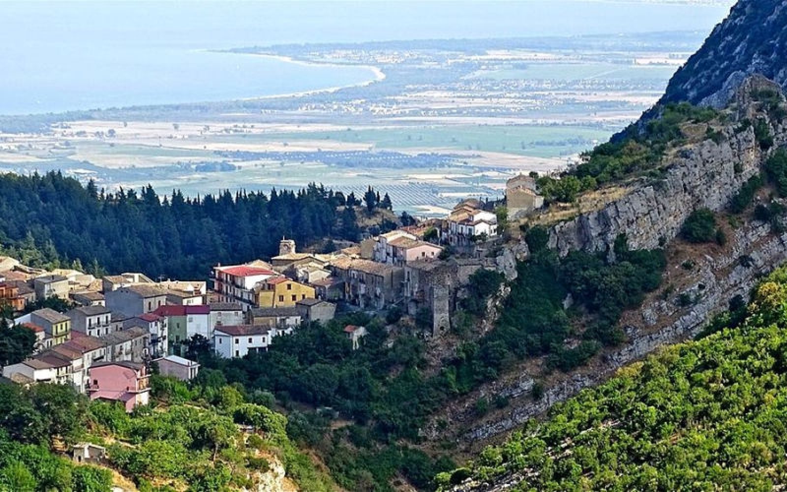
After a visit to the enchanting village of Morano Calabro, among the most beautiful villages in Italy, we set off again towards Cerchiara di Calabria (CS) along the SP263. The town is located on the eastern side of the Pollino massif at 650 m above sea level, and houses a series of very important caves.
One of these is the Cave of the Nymphs, a natural cavity located on the southeastern slopes of Mount Sellaro, from which warm sulphurous waters flow and form therapeutic mud. Also known as Grotta dei Bagni, it consists of a single hypogeum chamber in which many Roman oil lamps, datable to the 1st-2nd century AD, have been brought to light. They feature various decorations such as animals, winged victories, gladiators, and 35 bronze coins. The findings are kept in the Museo dei Brettii e degli Enotri in Cosenza.
Of considerable speleological interest is the Bifurto Abyss, also known as the "Wolf's Pit". This is a very deep chasm of karstic origin that descends vertically for 683 metres, located within the Cessuta archaeological and speleological park on the eastern slope of Monte Sellaro (1439 m). It was ranked as the 40th deepest cave in the world.
Cerchiara di Calabria - Saracena
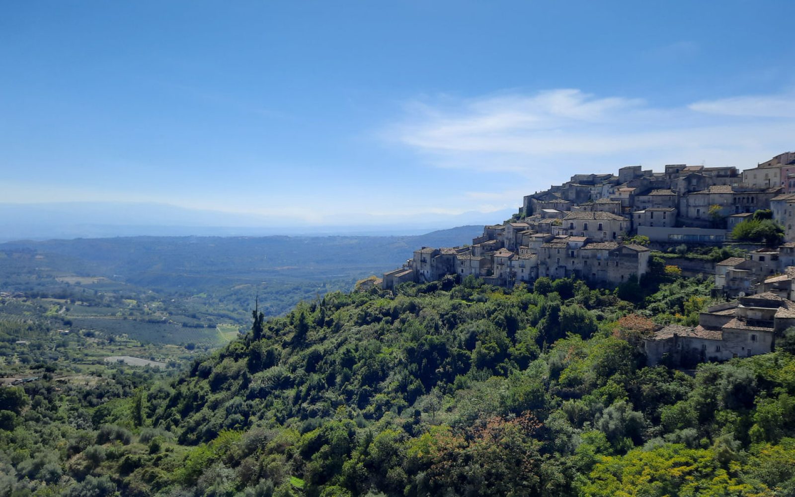
We set off again from Circhiara towards Saracena, a village located north of Cosenza, facing the plain of Sibari and the Ionian Sea. The original nucleus would have descended from ancient Sestio, founded by the Oenotrians.
The origins of the earliest human settlements are proven by the various excavation expeditions conducted in the caves of this area, including the Grotta di San Michele Arcangelo, a large karstic cavity located in the upper Garga valley, where the following have been found: an Eneolithic palaeo-surface with hearths and structures, and an apsidal hut from the final neolithic period; the burial of a 4-year-old child from the recent neolithic period; ceramic material and evidence of activities such as farming, breeding and hunting.
Another is the Campanella Cave, a small cavity used for worship by the Achaeans of Sibari between VII and VI BC, and this is evidenced by the discovery of Corinthian ceramic finds or colonial production.
Saracena - Sant’Agata di Esaro
Our itinerary tour to discover the archaeological caves of the Pollino National Park takes us along the SP 263 towards Sant'Agata d 'Esaro, a town located in the upper Esaro valley, and rich in spectacular landscapes.
In the wall of Monte Cuppone (1093 m) overlooking the Esaro and 600 m above sea level, is the Grotta della Monaca, a karst cavity dating back to the Paleolithic, exploited for the extraction of various minerals including iron and copper. On the inside, after a wide gallery called "Pregrotta", there is the "Sala dei Pipistrelli", the largest room in the cavity, home to a colony of bats, which is followed by three tunnels, the longest of which, "Il Salto", runs 60 metres into the rocks.
Sant’Agata di Esaro - Praia a Mare

Leaving Sant'Agata d 'Esaro, we set off for the last stage of this itinerary to Praia a Mare, crossing the Riviera dei Cedri along the SS18 on the Tyrrhenian coast for about 60 km. This village displays traces of human presence since the Middle Palaeolithic and, thanks to its location, has been a landing place on the Tyrrhenian route probably since the Neolithic. This is evidenced by the studies carried out in the Cave of the Sanctuary of the Madonna, which revealed a consistent use of the cave, most likely for ritual purposes, from the Mesolithic (10,000 - 8,000 BC) until the imperial Roman age (3rd century AD).
The Sanctuary of the Madonna della Grotta houses some works of art, including a wooden icon on a gold background and the bell from a British steamship torpedoed near Dino Island in 1917.