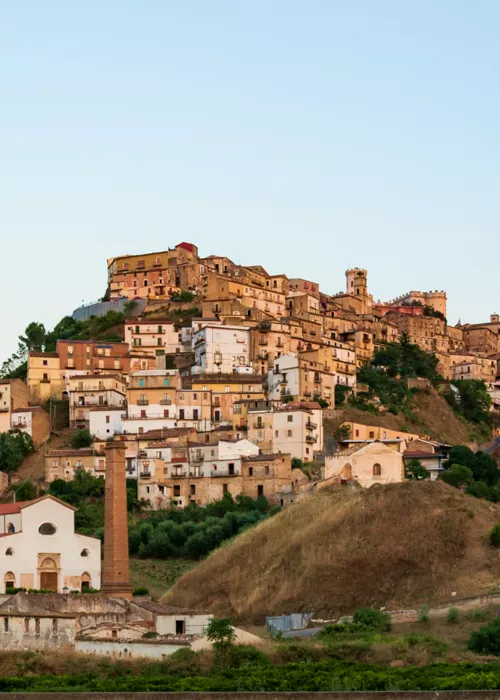
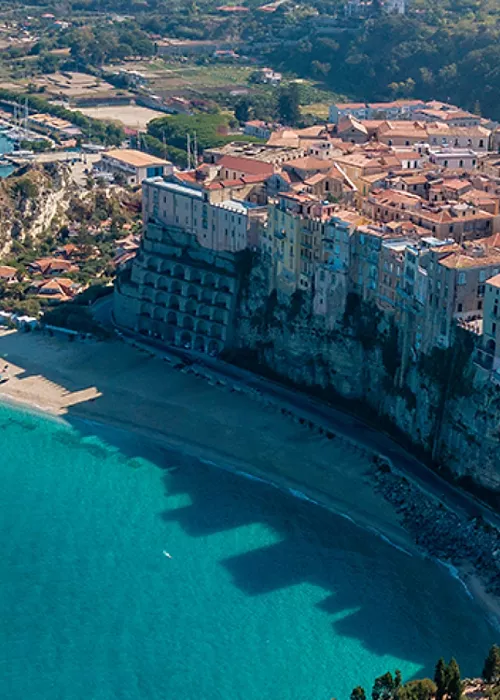
Girifalco

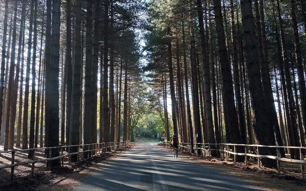
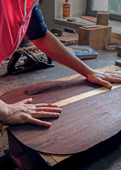
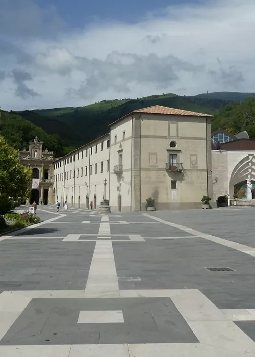
The first stage, which sets off from Girifalco (446 m) and marks the start of the Cycle Route in the Preserre hills of Catanzaro, brings us, in just 5.5 km, to Monte Covello Park (815 m), located in the centre of the isthmus, to recuperate in a magnificent spot. For the first 11 km, up to the highest point of the stage, at an altitude of 880 m, the climb is quite challenging. From here begins a steep descent which, after passing the turning for Polia, leads to Angitola Lake, and then heads towards Chiaravalle on the SP145. After a few kilometres, you arrive at Cenadi, a small village of just over 500 souls, and continuing downhill for another two km you arrive at San Vito sullo Ionio (400 m), a town known for its ancient mulberry trees and for the production of briar pipes, a tradition that it shares with Brognaturo. With constant climbs and descents, after San Vito, the route continues to Chiaravalle Centrale (525 m) through an area marked by vegetable gardens, orchards and cultivated hillsides. A slight climb past hazelnuts and beech trees leads to Torre di Ruggiero, a village named after its founder: Ruggiero I il Normanno (Roger I the Norman). Leaving the village and crossing the countryside of Cardinale, famous for the production of hazelnuts, you reach the slopes of Monte Pietre Bianche (818 m). The swaying greenery of the first ferns announces the Serre Park. After Simbario and Spadola, we head towards Serra San Bruno (798 m), the town known for the magnificent Certosa di Santo Stefano, which is reached at 46 km, alongside the Ancinale River.
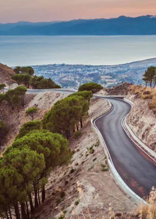
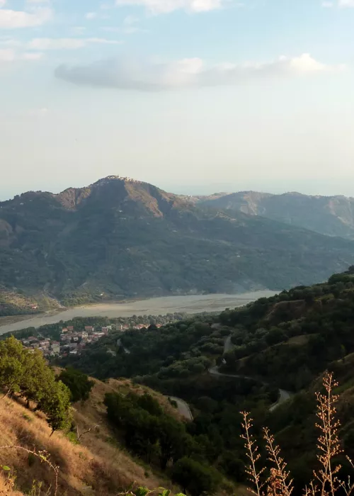
One branch of the Parks Cycle Route leads to Lake Angitola, a WWF Oasis with a truly magnificent landscape: at 12 km along the route from Girifalco to Serra San Bruno, you take the turn towards Polia, near Passo Fossa del Lupo. After an initial one-kilometre climb, with gradients approaching 10%, a long descent begins, passing through the region of Tre Croci, with a broad panorama of the lake valley, to the outskirts of Polia. The route proceeds towards Monterosso, home of the Museum of Farming and Crafts of Calabria, and then joins the SP47 in the direction of Lake Angitola, which you reach at 27 km. A picturesque cycle-pedestrian route makes a visit to the Reserve, just 5 km from the beaches of Pizzo Calabro, a unique experience. A gradual climb for 14 km leads to San Nicola da Crissa (518 m), known as the "balcony of Calabria" due to the magnificent panorama of the Tyrrhenian coasts, before resuming the ascent towards Torre di Ruggiero (590 m), which is found at 56 km.
Serra San Bruno

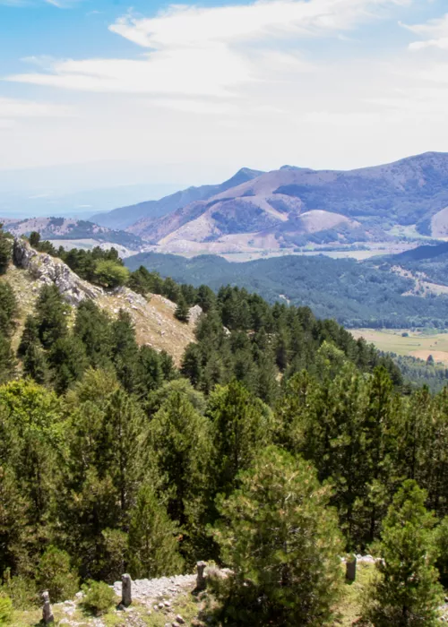
A route of about two hours starts from Serra San Bruno to arrive at the "Rosarella" Nursery and, running alongside the nursery enclosure, it reaches the entrance of Archiforo forest, marked by an information board. From here, the trail begins to climb, among majestic beech and fir trees, following the picturesque course of the stream.
The route, which winds its way through the forest, past fences and footbridges, leads to the discovery of a small waterfall, a bridge and a nearby spring, where you can refuel with water and see the reconstruction of a charcoal kiln.
The ride then continues uphill, along a challenging stretch that leads to "Pietra del Signore" ("Stone of the Lord"), a majestic granite stone outcrop.
An shared access road, behind the stone, joins the former SS 110 at the turning for Arena, on the Ninfo plain. The route continues along a completely downhill dirt road that leads to the "Rosarella" nursery in about 40 minutes. From the open space in front of the entrance to the nursery, where a cosy picnic area is located, you can return to Serra San Bruno.
