On foot, in the Italian mountains, along the Sentiero Italia CAI Italian hiking trail
6 minutes

A trail that extends across all of Italy. We're talking about the "Sentiero Italia CAI", an extraordinary hiking route in the mountains of the Bel Paese, including the two largest islands: almost 8,000 kilometres, crossing all the regions and perfectly connecting the regions, landscapes, traditions and cultures of Italy. Also to be experienced for short stretches or for holidays lasting only a few days in the name of sustainability.
A "step-by-step" story
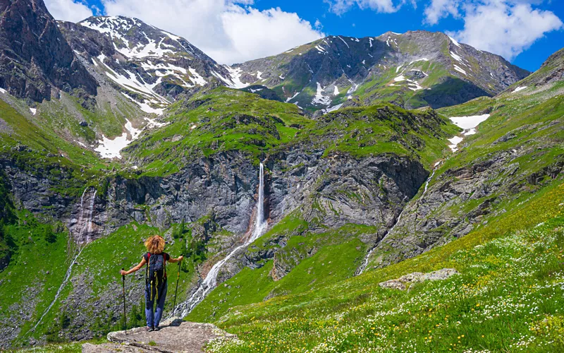
The idea of a hiking trail that connected the entire Bel Paese originated in the 1980s, from a group of hiking journalists, united in the "Sentiero Italia" association. In 1983, Teresio Valsesia, Riccardo Carnovalini and Giancarlo Corbellini began to envisage a hiking route that would follow the ridge of our mountains, joining various sections of paths and itineraries that had already been created, and contemplating the creation of new ones where they did not yet exist. The idea was then "adopted" by the Club Alpino Italiano and in 1995, they organised the first expedition, called Camminaitalia95. A large group of hikers (including the founders of the association) covered much of the route in eight months, with the support of the CAI sections throughout Italy. The experience was replicated in 1999, in collaboration with the National Alpini Association; the Touring Club Italiano was also involved, publishing a book describing all the stages.
In the following years, the Sentiero Italia fell into oblivion: many sections were no longer walked and maintained, allowing vegetation to take over the paths.
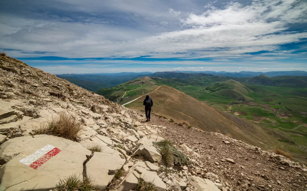
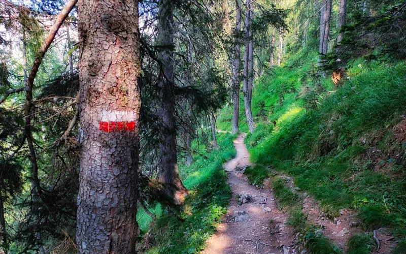
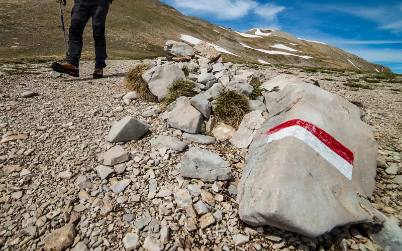
This brings us to 2018, when the CAI announced its intention to recover and relaunch the route, renaming it Sentiero Italia CAI. Hundreds of volunteers rolled up their sleeves, laced up their boots, and began to trace and retrace the route, recovering sections that were no longer accessible, creating variants where necessary, and installing red and white signposts with the inscription "SI".. It is a colossal work: the total length of the renovated Sentiero Italia CAI is 7,949 km, divided into 527 stages, starting from Santa Teresa Gallura, crossing Sardinia, then "landing" in Sicily, along the entire mountain ridge to the north of the Region, to reach Calabria, following the entire Apennine chain to Liguria to the north, and then crossing all the Alps from Liguria to Friuli Venezia Giulia, arriving in Muggia, near Trieste. An extraordinary route which visits all 20 Italian regions and crosses heterogeneous territorial contexts, with diverse climates, panoramas, landscapes, and environments, uniting local cultures and traditions, from gastronomy to folklore, like a single connecting thread.
Responsible mountain development
"It is an itinerary that can be compared to a real infrastructure, but without a single gram of cement," says Antonio Montani, General President of the CAI, to emphasise the sustainability of the Sentiero Italia. A project that, in the CAI's vision, is the basis of a new concept of mountain tourism development, more responsible and, in fact, sustainable. "The Club Alpino Italiano, also thanks to the extraordinary funds allocated by the Ministry of Tourism, intends to further relaunch the project of the Sentiero Italia as the backbone of the immense trail network that represents the green infrastructure essential to the development of sustainable mountain tourism", says Montani. "The CAI, with its volunteers, is once again called upon to play a leading role, to make it clear to society as a whole that responsible and ecological mountain development is possible".
Hit the road, even if only for a weekend
A number of hikers have understood and exploited the enormous potential of the Sentiero Italia CAI in recent years, and have walked it in its entirety, enjoying the beauty and wonder of this route, sharing numerous testimonies with the general public online. For those who wish to be tempted by the impressions of these unmissable experiences, it is possible to find online Renato Frignani's accounts or Elia Origoni's and Sara Bonfanti's tale, along with the Va' Sentiero youth project, whose experience has also been shared by the Touring Club Italiano, on its institutional website, stage by stage, between 2019 and 2021.
But you don't need to be an expert athlete or have months of free time available to experience the Sentiero Italia CAI, you just need to know your level of preparation, choose the most suitable stages of the route and set off: there are stages of all types and "for all legs"; from the simplest, which require you to overcome minimal height differences, to those suitable for experienced hikers. It is guaranteed to be a unique and unforgettable experience. Everywhere, you will encounter places and scenery that have remained behind the scenes for years, hidden in the valleys of our mountains, populated by genuine and welcoming people. An unusual and exciting way to get to know Italy from another perspective, truly different from the "usual" tourist routes and in close contact with nature.
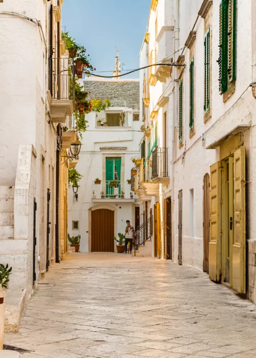
Among the easiest stages, suitable for everyone, for example, is the E67, which goes from Vocogno to Re, in Piedmont, characterised by an exclusively downhill gradient: it is a path that reaches the bottom of the Val Vigezzo valley, also known as the "valley of the painters", passing through picturesque villages and frescoed churches, until it reaches the majestic Santuario della Madonna del Sangue, in the municipality of Re, built in neo-Gothic style and completed in 1958. Or, the R06B, from Santeramo in Colle to Matera, between Puglia and Basilicata, with a very low altitude difference: arriving in the "city of stones" on foot from the mountain streets and then facing its ravine is always a very strong emotion, which is imprinted in the heart and in the memory. Among the least well-known and explored, in Sicily, is the V07, of medium height difference, which leads from Alcamo to Masseria Dammusi, on the heights behind Palermo. From here, then, the V08, of medium length and height difference, which leads to Piana degli Albanesi, on the eastern side of Monte Pizzuta, with the lake of the same name, which houses the most populous ethnic-linguistic Albanian community (arbëreshë) in Italy.
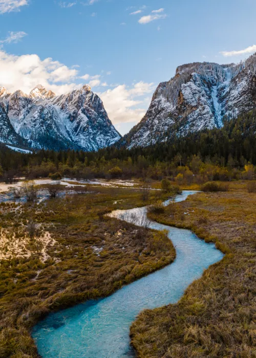
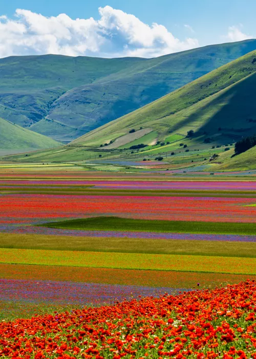
On the other hand, those who want to attempt stages for experienced hikers could opt for the D18S stage, in Lombardy, which connects Rifugio Dordona to Rifugio Fratelli Calvi: you walk among the alpine pastures and peaks of the western Orobie, admiring views that are surprising even for the inhabitants of Lombardy. Those looking for contact with wild and unspoilt mountains can choose the Piedmontese Alps, for example, by taking the E37 stage, from San Lorenzo (Locana) to Talosio (Ribordone), within the Gran Paradiso National Park, with a considerable difference in height and with incredible high-altitude landscapes. Beautiful, often solitary areas are also found in the Apennines: for example, along the fantastic N05 stage from Norcia to Visso, between Umbria and the Marche, which crosses the flowering meadows and the characteristic villages of the Monti Sibillini National Park.
How to plan your hiking route
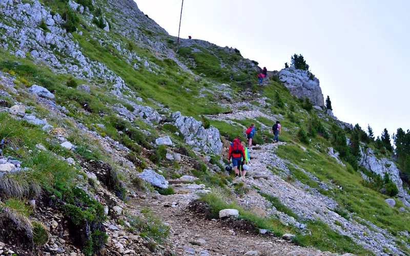
To help walkers plan their experience on the Sentiero Italia, the CAI provides many tools. First of all, online you can find the sentieroitalia.cai.it portal, with an interactive map and detailed indications of the individual stages, with all the information available and the Gpx track to download; from August 2022, the "Sentiero Italia CAI digital map" can also be downloaded, very useful both in the planning phase and "in the field".
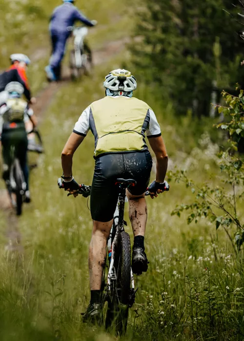
The CAI volunteers are currently finalising the verification of the sections that are also suitable for mountain bikes, in order to identify variants that will allow cyclists to avoid the stages that are unpassable by bike.
The official reception network of the route is in the process of being developed: as of today, there are more than 260 reception points in the vicinity of the Sentiero Italia (refuges, social huts, hostels, agritourism, and others), which are in the process of being integrated.
Finally, the Idea Montagna publishing house has published the official guides of the Sentiero Italia CAI, created in collaboration with the association; they contain, in addition to precise descriptions of the route, very useful cultural and environmental information on the territories traversed.
All the tools you need to ensure a positive and fulfilling hiking experience are at your fingertips, now it's up to you to choose the route you prefer and set off.
