CAI Calabria Trail: Zagarise - Petronà
1 minute

FEATURES
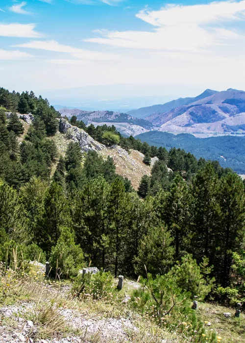
Routes that pass through different types of natural environments (pastures, undergrowth, scree, scree slopes) and that are travelled along mule tracks, paths and sometimes tracks; they are generally signposted and may have steep sections. Any exposed points are generally protected.
ABILITIES AND SKILLS
They require a sense of direction, hiking experience and an adequate level of fitness.
EQUIPMENT
Appropriate equipment is recommended, with particular regard to footwear.

Hiking route 328 starts from Tirivolo, in the municipality of Zagarise, and ends at Collle di Vespa, in the municipality of Petronà. According to the CAI standard, it is classified as Hiking and covers a total distance of 11.8 kilometres. The altitude of the starting point is 1621 metres and the maximum altitude reached is 1640 metres, while the minimum altitude is 1284 metres. The route is suitable for those who want to immerse themselves in nature and enjoy a relaxing and rejuvenating experience. It's best to be well-equipped and prepared for changeable weather conditions and potential obstacles along the route.
DISTANCE: 11.8 km
MAXIMUM ALTITUDE: 1640 m
MINIMUM ALTITUDE: 1284 m
Download the GPX map of the route
Map data @ OpenStreetMap contributors, @ ItalianAlpine Club
Data provided under the Open Data Commons Open Database Licence (ODbL).


