

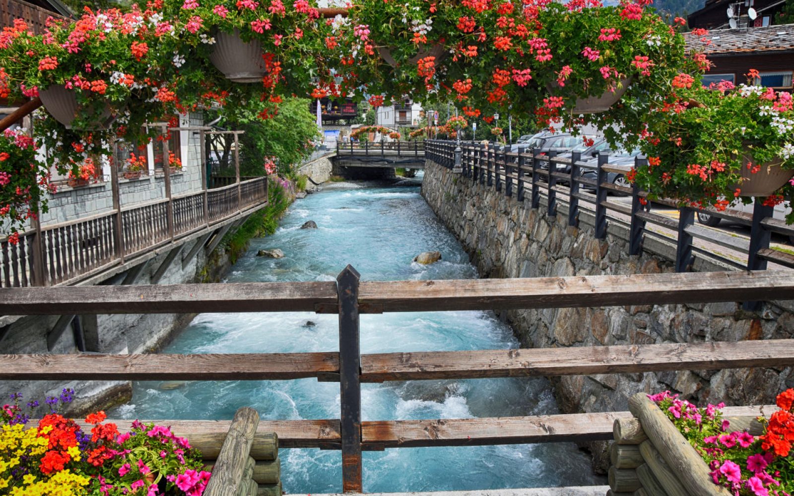
Verrès

Strictly speaking, Verrès is not located in the Ayas Valley, but if driving from Ivrea or Turin, this is where you turn off the E25 route between the Med and the Netherlands to head for Mount Rosa. Compared to the line of villages you will pass when driving through the Ayas Valley, Verrès is more of a town: alone, it has more inhabitants than all the other villages in the valley combined.
At first glance, you might think there are two churches here called the Collegiata, but then you realise there is only one: St Egidius (Sant'Egidio in Italian) is the same as the French name, Saint Gilles. Also French is the surname of the noble residence known as Challant Castle, which rises majestically on the cliff above the town, and which is an absolute must-see.
If you're interested in history and literature, you might want to read The Twelve Abbots of Challant, an fascinating late-20th century Italian novel set in the medieval world of Graines Castle. An excerpt from the novel reads "If one of our friends comes looking for us, asking about Challant Castle, tell him it no longer exists. But tell him that we are still here and if that if he wants to, he can find us, somewhere in this valley.” Graines Castle is now in ruins, but this one in Verrès is still holding up well, and the book is illuminating.
Challand-Saint-Victor

We are now ascending the Ayas Valley. A few kilometres north of Verrès, the name of the first town you come to, Challant Saint Victor, still refers to the centuries-old dependence on the historic family, which owned its first landholding here. You can climb – but on foot, from the Lago di Villa Nature Reserve – up to the ruins of the Villa Castle, which gave rise to the story of the Challant family.
The second part of the name, Saint Victor, comes from the saint whose name is given to the parish church of Sizan, the northernmost village in this municipality. Other villages where you can stop around regional road 45 are Villa-Nabian, where you can take the road heading to the Nature Reserve, and Isollaz, which has a waterfall trail leading to a disused pyrite mine.
Further up the valley, with a similar ambience and street plan, you come to Challand-Saint-Anselme, nestling in dense chestnut woods amid mountain pastures at an altitude of 1000 m. This is a land of irrigation channels and windmills (the one at Ruvère is particularly well-restored) below the towering peaks of the Dames de Challand. If you are wondering why the family's name is sometimes written Challant and sometimes as Challand, the locals will tell you that in French, both spellings are pronounced in the same way.
Lago di Villa Nature Reserve

A convenient short-cut from Challand-Saint-Victor leads you to a beautiful area of natural interest in the heart of the mountains. The Lago di Villa Reserve occupies 25 hectares of land at altitudes of 800 - 1000 metres above sea level.
From the hamlet of Villa-Nabian a tarmacked road takes you to the lakeside car park. Then there is another short stretch of road and finally a mule track, which is also suitable for wheelchair users.
The lake is a haven of tranquillity, where you'll want to stop and listen to the peaceful sounds of nature as you gaze at the mountains. Whatever the time of year, you can enjoy the vivid colours of the foliage as you try to spot the different types of flora and fauna that populate this environment. After this rejuvenating experience, you can set off again along the regional road 45, heading out of Challand-Saint-Anselme towards Graines Castle.
Graines Castle

Challant Castle in Verrès is still alive and well, but the one in Graines, another fortress that once also belonged to the historic local landowners - is now sadly in ruins. The same fate has also befallen Villa Castle near Challand-Saint-Victor. All three of these fortifications were used by the Challant family to control the territory along the route from the main valley floor towards Gressoney.
But Graines is particularly spectacular, not only because, like the other Challant castles, it has a prime hilltop location, but also because of the one remaining tall, square tower and the surrounding walls, built along the undulating terrain. Between the tower and the walls there was once a castle village, consisting of houses and vital services, built around the chapel of St Martin.
You can visit the ruins of Graines Castle by taking a sharp left on the twisting SR45 at the bottom of the valley, just upstream of Arcesaz: the road continues for a couple of kilometres but the final stretch has to be done on foot.
Brusson

About ten kilometres higher up than Challand-Saint-Victor, the Brusson area is certainly a draw for cultural tourists because of Graines Castle, but all visitors love the high mountain trails that in summer lead to the scenic Palasinaz lakes from Estoul.
In winter, apart from the well-equipped skating rink (with natural ice!), Estoul has almost eight kilometres of downhill ski slopes and more than thirty kilometres for cross-country. If you're aiming higher up the valley, towards the Antagnod and Champoluc ski lifts, it's useful to know that the Monterosa Ski passes are also valid in Brusson.
Until about forty years ago, the Chamousira gold mine was in operation on the hill above Brusson. Visits can be booked in advance. To get there, you'll need to park your car near the fifth hairpin bend on the road to Estoul, and then follow trail 7 on a 20-minute walk through the woods. Since 1899, more than 1.5 km of tunnels have been excavated here. Some of them can now be visited, with a guide.
Antagnod

About ten kilometres north of Brusson, the SR45 regional road takes you to Antagnod, the chief town of the Ayas valley, at an altitude of about 200 m. Not only is Antagnod located in a splendid vale with a series of ski lifts – it's part of the Monterosa Ski area – it also has a cultural treasure, the parish church of St Martin. The 15th-century bell tower of the church rises up amid the little cluster of cobbled streets lined with stone and timber houses, all built according in the traditional local style.
There's another reason to stop here awhile - or perhaps even stay overnight. Antagnod is home to Maison Fournier, the fortress-house that was the former residence of the well-known Challant family and which now contains an exhibition on the traditions of Aosta. Below the balcony of the fortress-house is a stuffed bear's paw. Legend has it that a local mountain dweller once killed the animal with his bare hands.
Champoluc
The final destination on our route is a famous summer holiday and winter ski resort. It's just a short distance from Antagnod: about 4 km along the SR45 regional road. If you wish, you can travel by car as far as Saint-Jacques-des-Allemands. Then it's time to get your hiking boots on and head towards Lago Bleu via Fiery, Beaubois and Pian di Verra Inferiore. If you're a cyclist, remember that the 32 km ascent from Verrès to Saint-Jacques has an altitude difference of 1300 metres.
Champoluc has no historic buildings of note, nor does it need them. Even the church was built in the 19th century, when a new parish was formed separately from Antagnod. Here in Champoluc, the important things are the mountain excursions and the ski lifts run by the Monterosa Ski company, which has its headquarters and information office here.
If you're here in summer, the first option that's available to almost everyone - especially if you take the gentler slope on the right, when you come to the bridge - is the waterfall trail and the village of Mascognaz, with its Walser houses and wellness spa. To find a more challenging trail, you can take a chair lift or cable car, such as the one at almost 2000 m of altitude at the Crest mountain station.