Trentino-South Tyrol: the Vie dell'Acqua water trails
3 minutes
Index
Used centuries ago to irrigate meadows and crops, today they are among the most popular hiking routes in Trentino-South Tyrol.
We’re talking about the Sentieri della Roggia water trails – mostly flat hiking trails suitable for the whole family all year round.
Lagundo: the Algunder Waalweg from Tell to Quarrazze
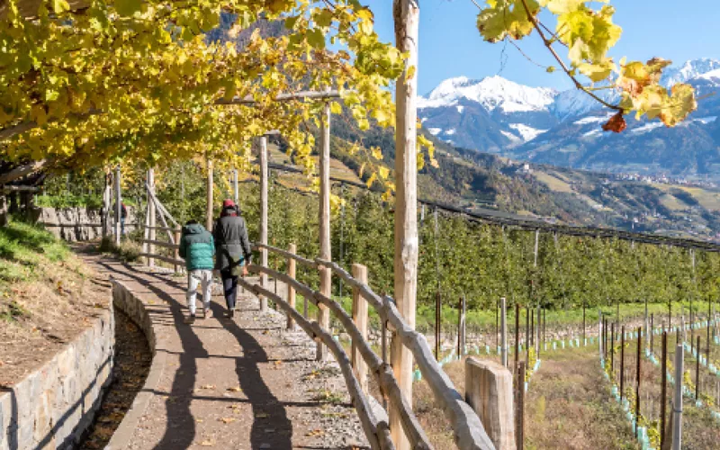
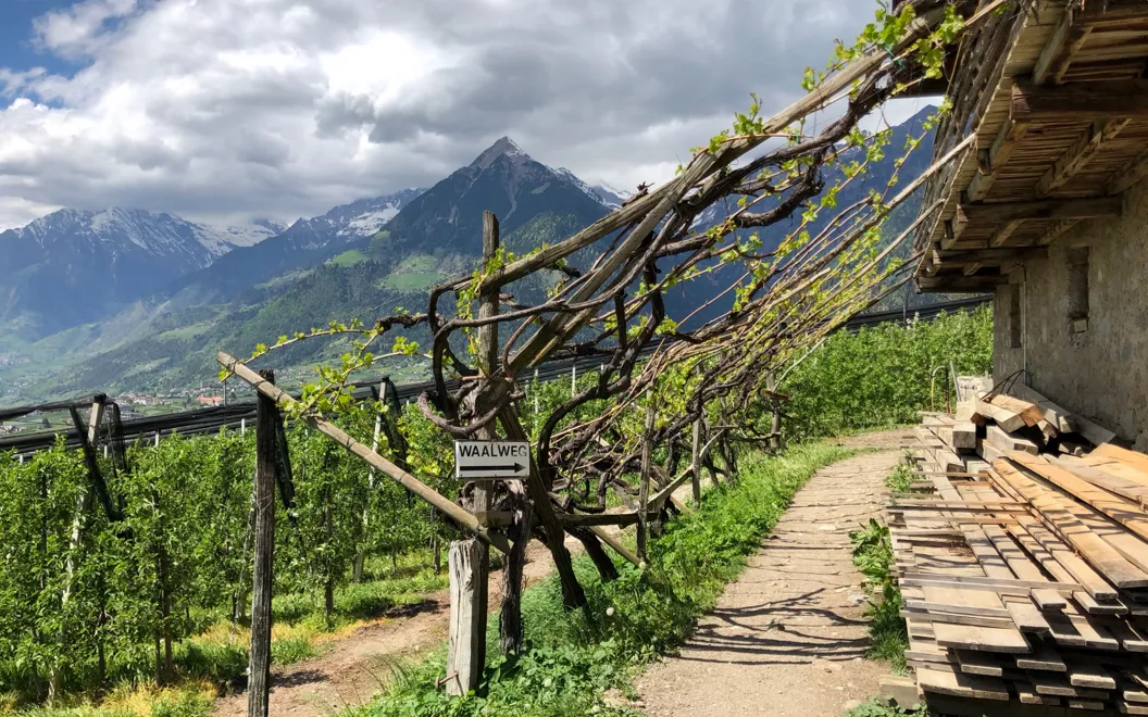
The fertile, sunlit Lagundo vineyards line this gentle route from Tell to Quarrazze, through the Mediterranean hills of Merano.
The Algunder Waalweg begins in Plars: from here, you walk past old vineyards for just under 6 kilometres.
The hike presents a low level of difficulty and is therefore suitable for everyone.
The Caines Waalweg and Tractor Museum
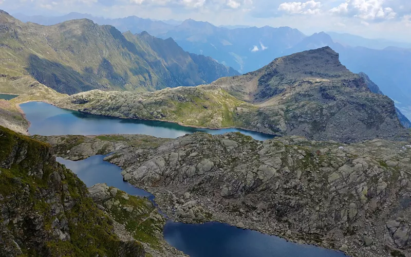
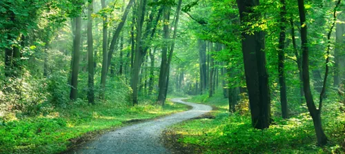
Winding its way through shaded forests for about three kilometres, departing from Croce del Tirolo, which overlooks the village of Tirolo, it enters the lake district of Sopranes, up to the Rio Finale river tributary.
If you’re planning to take on the Caines Waalweg, it will take you about an hour, starting below the Longfallohof farmstead. It takes you through lush mixed forests towards the mouth of the valley, to the Mutschlechnerhof farmstead, where the irrigation channel ends.
Beyond the spectacular views, once you leave the Caines forest, we recommend visiting the striking and unique Tractor Museum.
Rifiano: a contemplative water trail
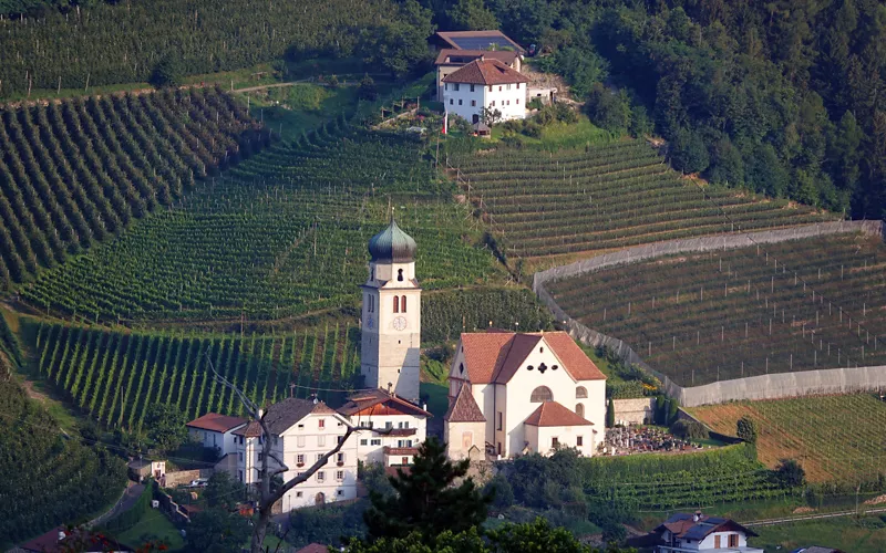
Water has not flowed along this route for a long time now.
However, you can still enjoy the splendid route through the woods, alongside the new path of reflection.
This approximately five-kilometre hike leads uphill through trees and orchards to the famous pilgrimage church in Rifiano. From here, you can choose to continue along the Rösselesteig, which leads to Saltusio in the Passeier Valley.
Maia: the ever-evolving water trail
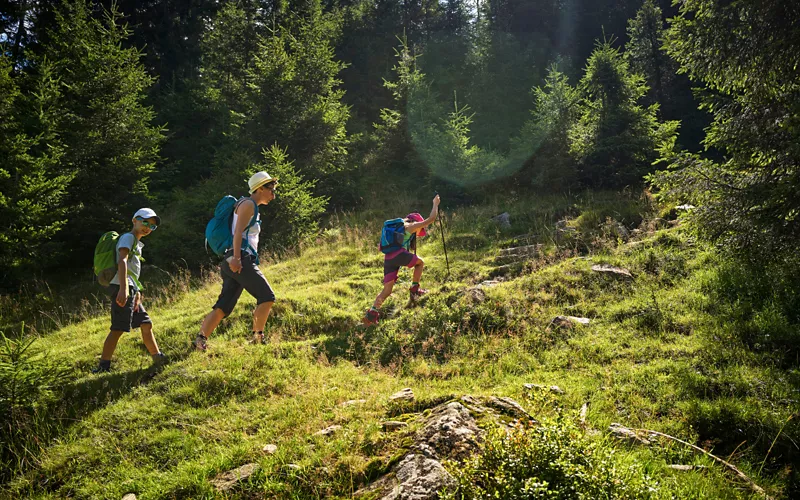
Eight and a half kilometres of charming trails in a landscape that offers a variety of terrains, dense mixed forests and orchards. The Maiser Waalweg stretches from the Passeier Valley, where it collects its water, to the heart of the Maia Alta residential area, full of villas that once belonged to nobility.
You might think the route ends in Haslerstrasse, but this is not the case: passing through the small gate behind the Castel Planta castle, you arrive at the true finish line on Via Valentino.
Schenner: the water trail in the sky
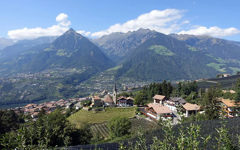
The Schenner Waalweg begins at the Masulschlucht gorge and runs through the lower part of the Monte Scena mountain to the Val di Nova, where you find the Meran 2000 Cable Car Station.
7.5 kilometres among narrow gorges and chestnut groves.
Brandis: the water trail leading to the waterfall
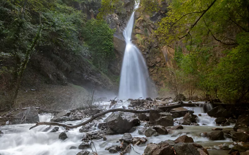
The original watercourse, carved into the rock back in 1835, now flows in a channel below the route, but the Brandis Waalweg is still well worth a visit.
Starting at the point where the road climbs up to Passo Palade in Lana, it continues for about 300 metres towards Foiana before branching off. The grand finale is the Brandis waterfall that roars down a ravine.
Cermes: the Ochsentod trail
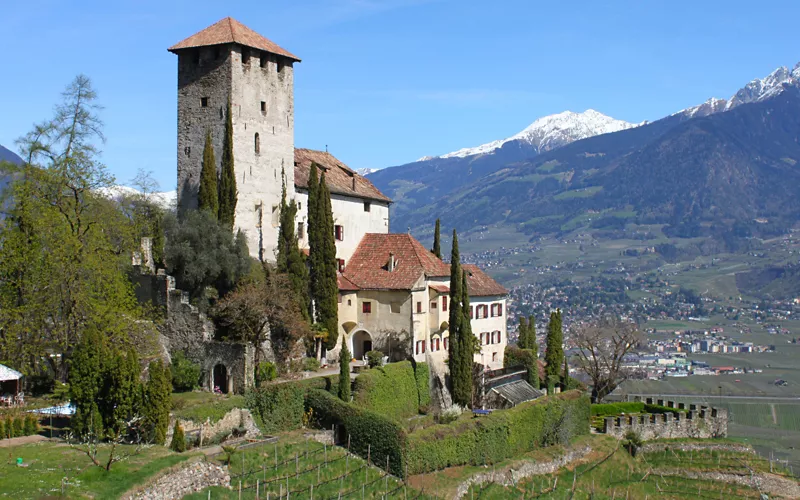
The ancient path that once connected the valley to the Monte San Vigilio mountain was recently restored and made accessible. Starting at the square in Cermes, it continues uphill through chestnut and deciduous forests to the Ochsentod trail. The vegetation evolves as you climb in altitude and the panorama offers spectacular views of the entire valley basin of Merano.
Marlinger: the longest irrigation channel in Trentino-South Tyrol
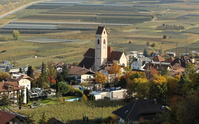
The Marlinger Waalweg extends along the old irrigation canal for about 12 kilometres, making it the longest irrigation canal in Trentino-South Tyrol. It offers an enchanting view of the entire Burggrafenamt district and gives parents the chance to enjoy a few quiet moments, thanks to a large children's playground.
Parcines: the highest waterfall in the region
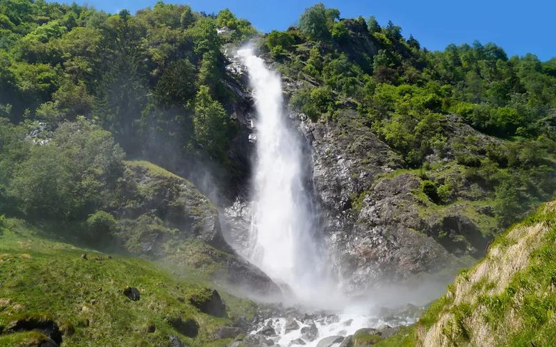
Parcines offers a rather quick water trail. Compensating for the short distance, just above the beginning of the waterway, only 15 minutes away, you can admire the highest waterfall in the region, with a drop of over 100 metres.
Rablà: the historic and idyllic water trail
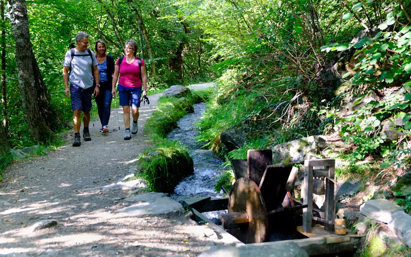
Starting from the centre of Rablà, this historic water trail leads past the Church of San Giacomo and continues past houses and orchards. It is the shortest water trail in Trentino-South Tyrol, but it offers the most idyllic walk, about half an hour long.
Wallburg: the prehistoric fortified settlement
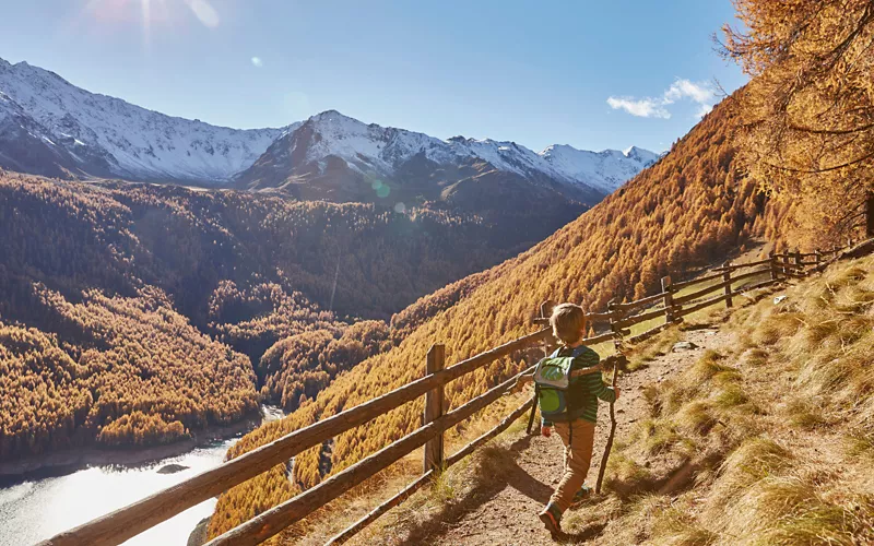
We recommend walking along this last trail as the autumn colours descend on the vineyard foliage. The Wallburg hiking trail overlooks the Schnalstal Valley and preserves the remains of the walls of a prehistoric fortification.
