CAI Basilicata Trail: Melfi
1 minute

FEATURES
Routes on cart tracks, mule tracks or clear paths that do not present any orientation uncertainties or problems, with moderate inclines and gradients.
ABILTY AND SKILLS
Requires basic hiking knowledge and physical fitness for walking.
EQUIPMENT
Appropriate clothing and footwear are still required.

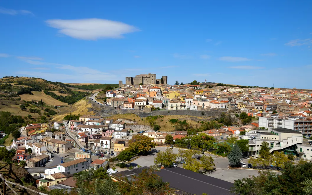
Hiking route 101 starts and ends in Melfi, in the Municipality of Melfi. According to the CAI standard, it is categorised as Tourist and covers a total distance of 9.4 kilometres. The altitude of the starting point is 554 metres and the maximum altitude achieved is 1255 metres, while the minimum altitude is 500 metres. This hiking route is suitable for those who want to immerse themselves in nature and enjoy a relaxing, rejuvenating experience. It is advisable to be well-equipped and prepared for different weather conditions and potential obstacles that may be encountered along the route.
DISTANCE: 9.4 km
MAXIMUM ALTITUDE: 1,255 m
MINIMUM ALTITUDE: 500 m
Download the GPX map of the route
Map data OpenStreetMap contributors, @ Club Alpino Italiano
The data are available under the Open Data Commons Open Database Licence (ODbL).


